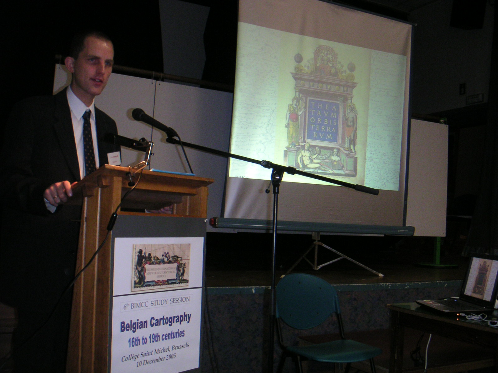
Collège Saint-Michel, Brussels, 10ĀDecember 2005
Belgium's celebration of the 175th anniversary of its founding formed the background for the Sixth annual BIMCC Study Session on Belgian Cartography - 16th to 19th centuries held on 10ĀDecember 2005 at the Collège Saint-Michel. Some 50 map enthusiasts and specialists from several countries attended a morning session dedicated to early Belgian cartographers and an afternoon session reserved for their post-independence successors.
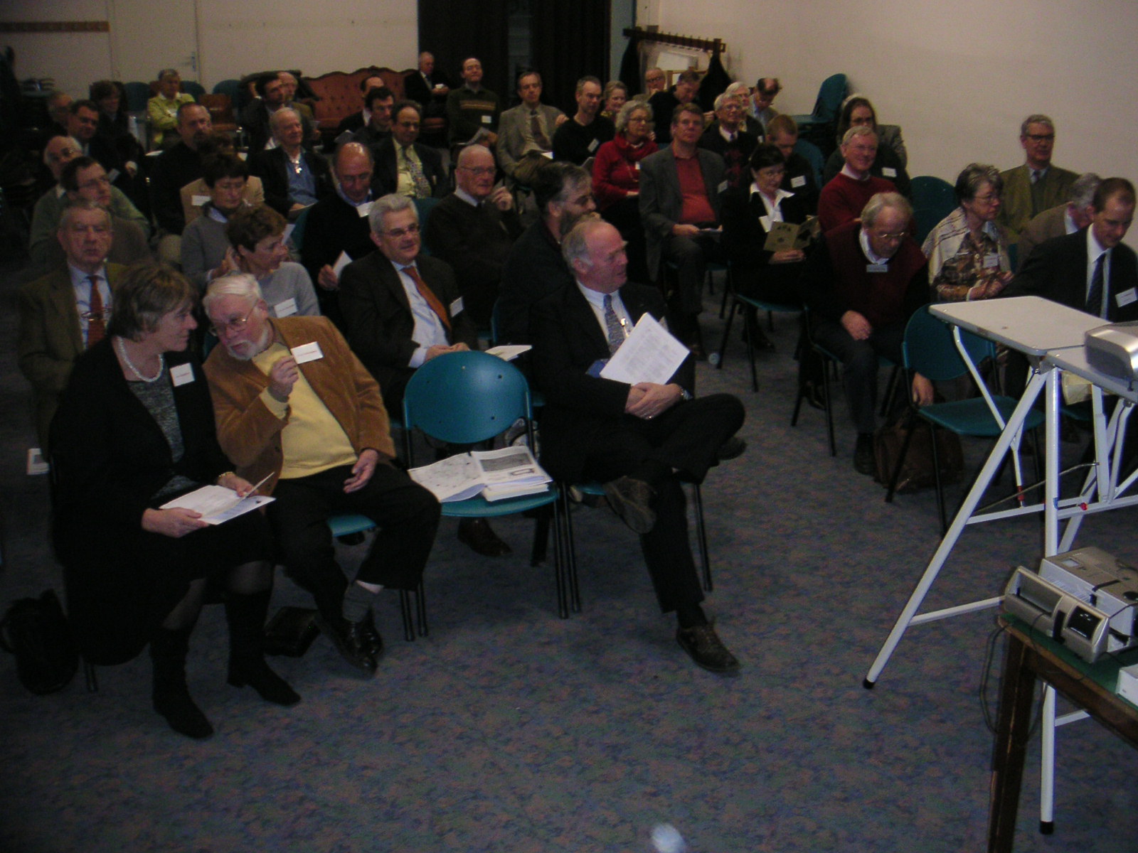
Audience at the BIMCC Study Session (410 kB)
After a word of welcome by BIMCC President Wulf Bodenstein, Jan DeĀGraeve took off with a presentation of The surveyor Gerard Mercator, his library and instruments (1512-1594), a little-known aspect of this great humanist. MrĀDeĀGraeve, a chartered surveyor and lecturer at several universities, reconstructed the book collection of Mercator on the basis of an auction catalogue dated 1604 of the Mercator sale in Leiden and concluded that Mercator must have possessed over 1Ā000 books, an exceptional figure in the 16th century.
MrĀDeĀGraeve's point was to prove that Mercator had a great knowledge of geometry. To the extent that looking into one's library is a gauge of that person's knowledge, Mercator must have had a thorough understanding of geometry.
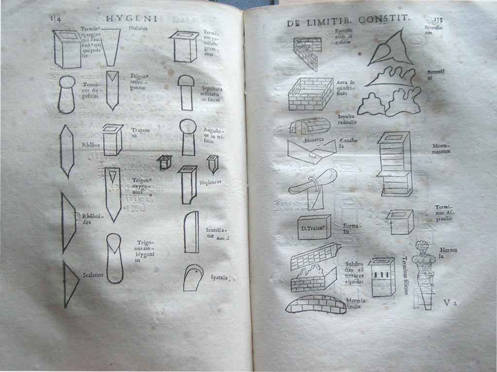
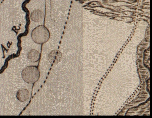
Examples of border stones (131 kB)
Finally, MrĀDeĀGraeve concluded his presentation with a short overview of Mercator's scientific instruments, some of which are now kept by the Museum of the History of Science in Oxford. Even more interesting, MrĀDeĀGraeve mentioned that, while there are three known astroglobes attributed to Mercator (currently kept in Brno, Firenze and Augsburg), he is convinced that he has found a fourth one that he will unveil in the not too distant future. À suivre …
Joost Depuydt, head of the Public Service of the Central Library of K.U.ĀLeuven, looked with fresh eyes to the familiar figure of Abraham Ortelius (1527-1598) and opened up a spectacular side of this 16th century protagonist: Dedications on Ortelius' Parergon maps. By 1584, the publication year of his first historical map, he most likely did not have to scheme for money and protection.
J.ĀDepuydt showing Theatrum title page (369 kB)
Most dedications showed a clear relationship between the geographical scope of the map and the person to whom it was dedicated: for example, the map of Italia Gallica to Francesco Soranza, from the noble family of Venice, ambassador in Spain; the second edition of the Geographia sacra to bishop Willem van Bergen; or, the Hispaniae veteris typus map to Benito Arias Montano, librarian of ElĀEscorial.
Fortunately, not all mysteries are solved and MrĀDepuydt suggested more homework was needed: was the dedication on the Pannoniae et Illyrica veteris tabula map to Ludivicus Haller von Hallerstein or to Fredericus Haller von Hallerstein? Just who is this person and what is his relationship, if any, to this particular map. And can we really be certain that there is no connection between the Brittanicum insularum vetus map and its dedication to Georgius ab Austria, chancellor of the Leuven University? We thank MrĀDepuydt for his handy paper survey and we can only hope that he will come back soon (at least) One More Time.
Third in line was Wouter Bracke, acting Head of the Map room of the Royal Library of Belgium. MrĀBracke focused on the Brussels map house of the Fricx family and, as he discussed more in particular, Maps by Eugène Henri Fricx (1644-1730), its most prominent member. Fricx started working on his chef-d'oeuvre, his Carte des Pays-Bas et des frontières de France, as early as 1704 for a first publication in 1712. War was once more a catalyst to mapmaking, and we must understand this work against the background of the Spanish Succession War which saw France and Bavaria opposing England, Austria, Portugal, Savoie and Holland and fighting over the succession to the Spanish throne following the death of its King CharlesĀII in 1700.
Map with repairs made to a worn-out copper plate (154 kB)
Detail of the map with repairs made to a worn-out copper plate
Interestingly, the dates remained unchanged for many updates of the maps: could this be a question of artificially postponing the cut-off date of the privilege granted to the cartographer? Or did Fricx in the earlier days of this work not intend to publish an entire atlas? Finally, we understand that the maps of Fricx have been copied by Pierre Mortier, Covens-Mortier and Jean Crepy, to name but a few. We thank MrĀBracke for his eye-opening presentation which he supported with a spectacular slide show: from now on we will consider Eugène-Henri Fricx as one of the jewels of the Belgian post-16th century cartographers.
The morning session was closed by Luc Janssens' exposé on Land Surveyors and their maps in the 18th century Duchy of Brabant. MrĀJanssens first analyzed the professional group of land surveyors who worked in the 18th century Duchy of Brabant (i.e. excluding the Dutch province of Noord-Brabant). Between 1680 and 1795 a total of 343 surveyors worked and lived in Brabant, mostly in the cities of Brussels, Mechelen and Leuven. MrĀJanssens showed on a graph that, for most of the reference time, no more than 50Āsurveyors were active at any given moment. The proportion of surveyors to the population represented 1:9Ā385 in 1755 and it increased to 1:5Ā813 in 1784.
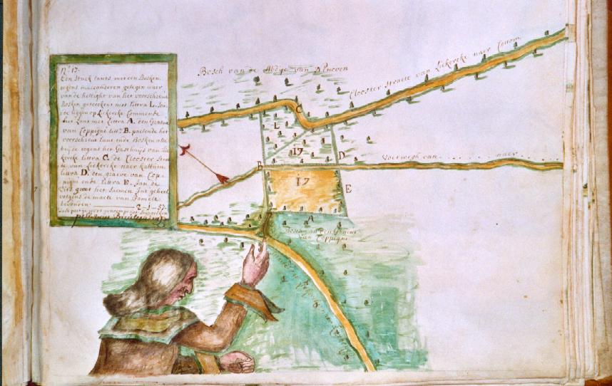
Self-portrait of a surveyor on a manuscript map (77 kB)
MrĀJanssens then dedicated his presentation to the manuscript maps of these surveyors. In contrast to the more uniform military maps, the manuscript maps do not speak one and the same universal language: pictorial elements and decorative images and cartouches are very individual. Political and economic factors triggered the increased demand for manuscript maps. According to the speaker, a first positive factor was probably the Ordinance of 1705 that regulates the profession; in our days professional regulations usually aim at or lead to access restriction! Moreover, local authorities and large landowners (including abbeys) showed an interest in having a more faithful definition of their land. Finally, changes in cadastral numbers were another incentive for manuscript maps.
MrĀJanssens will defend his doctoral thesis on Land Surveyors in the Duchy of Brabant (1680Ā-Ā1795) in 2006 at K.U.ĀLeuven and we wish him the best of luck.
During the apéritif offered by the BIMCC and the Speakers' Lunch more informal exchanges took place between the audience and the speakers.
After the break, Bernard Jouret, professor at the Université Libre de Bruxelles (ULB) and assistant Director at the National Geographic Institute, took off with a presentation of Some lesser-known Belgian 19th century military and civil surveyors.

B.ĀJouret with the portraits of some lesser known surveyors (407 kB)
Three seemingly connected institutes took a primary role in this process: l'École militaire, le Dépôt de la Guerre and l'Académie royale. MrĀJouret described the contribution of many eminent individuals, most of whom excelled in several disciplines: they included military men of the highest rank, prominent academics, scientists, practical researchers and fieldworkers. Adolphe Quetelet was their front man and key player in the entire surveying process, but most surveyors have unfortunately been relegated to obscurity, including Albert-Florence Prisse, André Jolly, Jean Chapelié and Guillaume-Adolphe Nerenburger. As the post-1830 political pendulum was swinging in one direction, it comes as no surprise that many prominent surveyors had a French background.
We understand that MrĀJouret will publish his work on ces savants brillants et oubliés du 19e siècle in 2006.
The icing on the cake was Lisette Danckaert. MsĀDanckaert, who needs no introduction, gave an excellent and unanimously appreciated slide show on Vandermaelen's cartographical view of the world and of Brussels. She highlighted the role of the Établissement géographique de Bruxelles, the most famous map printing and editing house in 19th century Belgium run by Philippe (1795-1869) and Jean-François Vandermaelen. Supported by the fortune of their parents, the brothers built a spacious geographical institute in 1829, in which they also installed a map-drawing section, a library and a museum.
As for world cartography, we remember the Atlas universel with 400Āsheets on a uniform scale of ca. 1:1Ā600Ā000 and which, when it appeared in 1827, was far ahead of its time. From this atlas, MsĀDanckaert showed us a map of the Erebus volcano on Antarctica of 1843, discovered only two years before.
The Vandermaelens' excellence is shown in their series of 1:20Ā000 maps on Belgium in 250Āsheets. These detailed maps allow for individual identification of windmills and buildings, show differences in relief, and discern coalmine concessions. Out of the enormous production of Vandermaelen can be noted: the geological maps of André Dumont, maps on the Belgian provinces, railway maps (with perspective views) and cadastral maps.
Also highly successful were the 1:5Ā000 maps of Brussels, which were published between 1837 and 1848. As maps have often been used or abused for other (political) purposes, MsĀDanckaerts mentioned the proposals of Walrand using the 1:5Ā000 maps to rebuild the city from a tabula rasa on the basis of a spider grid. Approximately one hundred years later an architect had similar plans for Berlin. So far, none have been realized.
Unfortunately, in the latter part of the 19th century the preponderant role of the Établissement Vandermaelen was undermined by the emergence and development of official cartography in this country. We understand that an inventory of the Vandermaelen production kept in the Royal Library is under preparation by, amongst others, MsĀDanckaert.
Finally, we would like to thank MsĀBodenstein who has, once more, organized the wonderful catering during the breaks and Mr Hans Kok who displayed some of his maps in a mini-exhibition at the catering room, including the following maps:
Last but not least, we are also delighted to see that so many of our members publish and here follows a list of books that were on display at the mini-exhibition:
by Stanislas De Peuter