Newsletter No 40
39.92 MiB
Titles of articles
Looks at books
- Early manuscript maps of Upper and Lower Bavaria
- Friedrich Bernhard Werner 1690-1776
- Maps in those days. Cartographic methods before 1850
Pictures at an Exhibition
- Bird’s-eye view of Istanbul from 500 year-old maps
History and Cartography
- Martino Martini’s Jesuit Cartography of the Middle Kingdom (selected topics: part II)
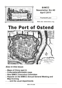
- The Port of Ostend originated in the 16th century
Collectable/affordable maps
- Histoire militaire de Flandre [Military history of Flanders] 1690-94 Ch. De Beaurain