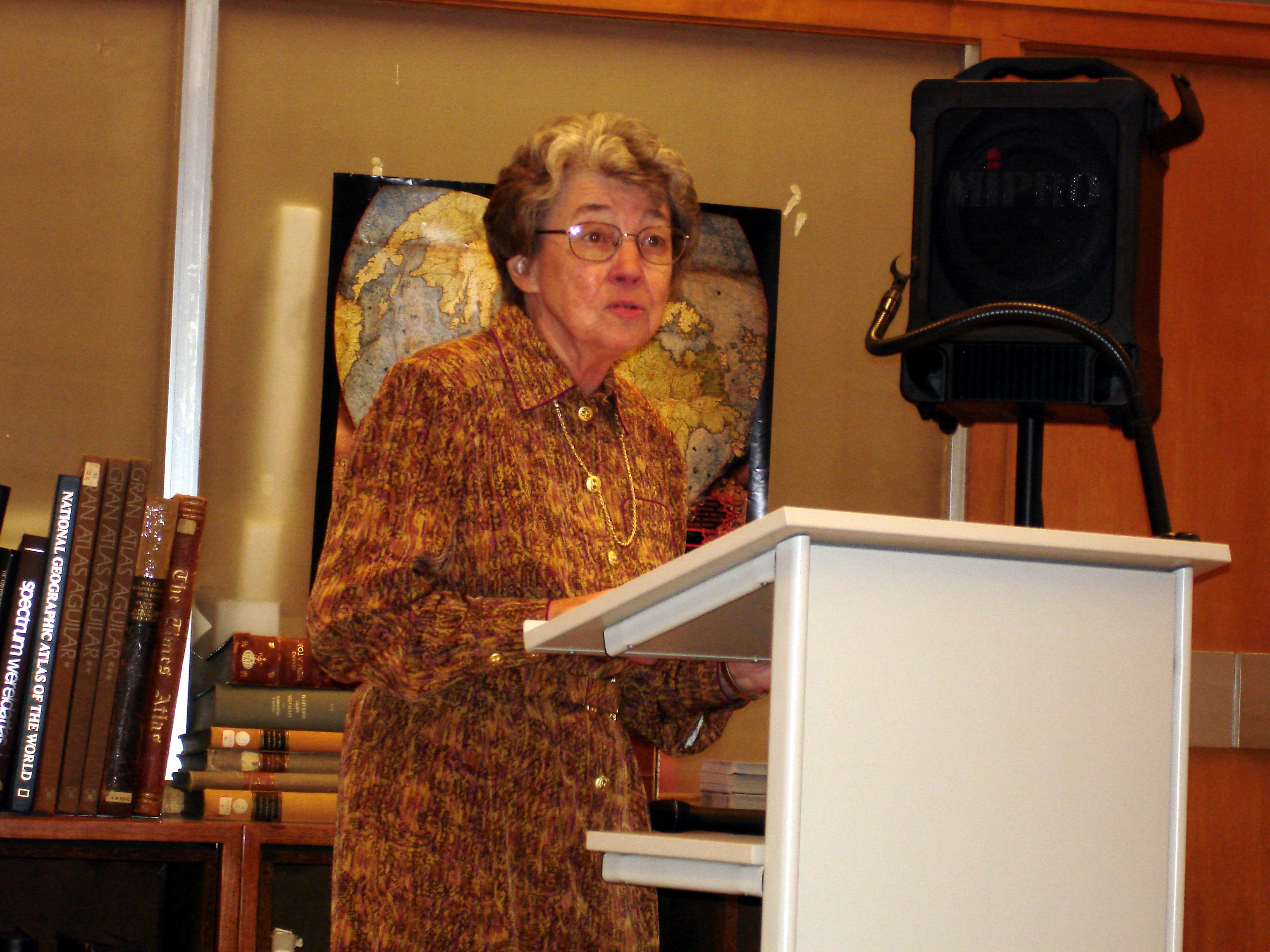
10 April 1951 – 11 March 2020
Peter Heinrich Meurer was born on 10 April 1951 in the small village of Horst (now part of the city of Heinsberg, North Rhine-Westphalia, close to the Dutch provincial border of Limburg), the son of a shoemaker. Upon the early death of his mother, his grandfather brought him up and formed his attitude to life.
Having been educated at the classical secondary school of Heinsberg, and following his military service, he studied geography and history of architecture at the Technical College of North Rhine-Westphalia in Aachen from 1972 to 1977, with history, town planning, history of art and geodesy as secondary subjects. He obtained his M.A. with a study of the fortified settlements in the Duchy of Jülich.
In 1981, Peter Meurer enrolled in Bonn University to read history of science. His dissertation on Atlases published in Cologne, terminated in 1984, was rejected owing to some academic rivalry between professors. It finally appeared in book form in 1988, entitled Atlantes Colonienses: Die Kölner Schule der Atlaskartographie 1570-1610, one of Meurer’s most successful publications. He then launched a new project with the publisher of Atlantes Coloniensis, Dietrich Pfaehler of Bad Neustadt: the publication of Speculum Orbis, a scholarly cartographic periodical which started in 1985 but unfortunately ceased to exist in 1988.
In 1987, Peter Meurer married Heike, née Raschdorf, his friend of many years, who became the pillar of his life.
In order to enable his return to the academic world, Professor Wolfgang Scharfe of the Berlin Free University invited Peter Meurer to undertake his PhD as a post-graduate external student. It so happened that his new work, the Fontes Cartographici Orteliani, was nearly completed and it fitted well into the programme of Scharfe’s Institute. This important analysis of Ortelius’s sources for his Theatrum Orbis Terrarum was published in 1991.
Around 1988, the idea of an Imago Germaniae project was born, a study he was to pursue at the Documentation Centre for German Regional Studies at the University of Trier from 1992 to 1997. This resulted in the publication of the Corpus der älteren Germania-Karten [Collection of early maps of Germania] in 2001. When the Trier Institute was closed in favour of the Leibniz Institute for Regional Studies in Leipzig, Peter Meurer reluctantly left the town and University of Trier and moved back to his parents’ home in Heinsberg.
Another professional opportunity arose in 1998 at the Gerhard-Mercator University of Duisburg. A research project on Christian Sgrooten, jointly elaborated with Utrecht University, prompted this move. However, when this university was merged with that of Essen in 2002, Peter Meurer once more lost a promising research possibility. Nevertheless, and in spite of a lack of perspectives and regular employment, he concluded the Sgrooten project as a scientific study on his own.
There followed a period of serious hardship for Peter Meurer. Three new propositions for research projects had been rejected, and in 2004 he suffered a heart attack, necessitating a bypass operation. For a while he turned to working with antiquarians and collectors to earn his living. Finally, a job creation programme of the German Research Foundation (DFG) permitted him to regain access to the scientific community. Between September 2008 and July 2011, he was responsible for a project on the Werkausgabe Caspar Vopelius [The complete works of Caspar Vopelius] which he concluded successfully. It was not, however, published as such, due to financial constraints.
These many setbacks, aggravated by deteriorating health, led Peter Meurer to abandon scientific work and in 2014 he decided to go into early retirement. In 2016 he finally returned to his long-standing favourite theme of maps of the Catholic German Order, and in particular to those produced by the missionaries of Steyl. Since purchasing original atlases had become cheaper than obtaining scans, he became a collector himself, assembling an almost complete set of these atlases. The resulting study was published in Cartographica Helvetica Vol. 58/2019, his ultimate contribution to a Journal he had served for thirty years.
Peter Meurer’s untimely death is an immense loss to all those intimately involved in the history of cartography. One cannot but admire his impressive capacity for work and his enormous creative output. Obliged to subsist under the most trying of circumstances, he persevered in following his scientific vocation, delivering major contributions to the History of Cartography that range from Ptolemy to 20th-century missionary maps. His books on the Cologne Atlases, on Ortelius, the Corpus of early Germania maps, and on Sgrooten are masterpieces that have become indispensable works of reference. It is these that will keep alive our memories of a great scholar and map historian.
His complete bibliography with 200 entries will be published in Cartographica Helvetica Vol. 61/2020.
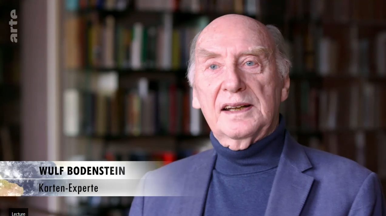
By Wulf Bodenstein
(Summary of the Obituary to be published in Imago Mundi – By permission)
----
Note from the Editor
Peter Meurer joined the BIMCC in June, 1999. We are grateful to him for having contributed the following articles:
- in the context of the 6th International BIMCC Conference Formatting Europe – Mapping a Continent: Europa Regina. 16th century maps of Europe in the form of a queen, in: Belgeo 2008/3-4, pp. 359-368
- with Pierre Dumolin, Two unrecorded Lafreri-type maps of Hainaut and Southern France, in: Maps in History No 47, September 2013, pp. 14-18
- The Map of the 1542 Franco-Habsburg War by Enea Vico, in: Maps in History No 53, September 2015, pp. 16-19
- The Cologne publisher Gerhard Altzenbach and Liège or: A Chapter from the Complexity of Cartobibliography, in: Maps in History No 55, May 2016, pp. 20-26.